
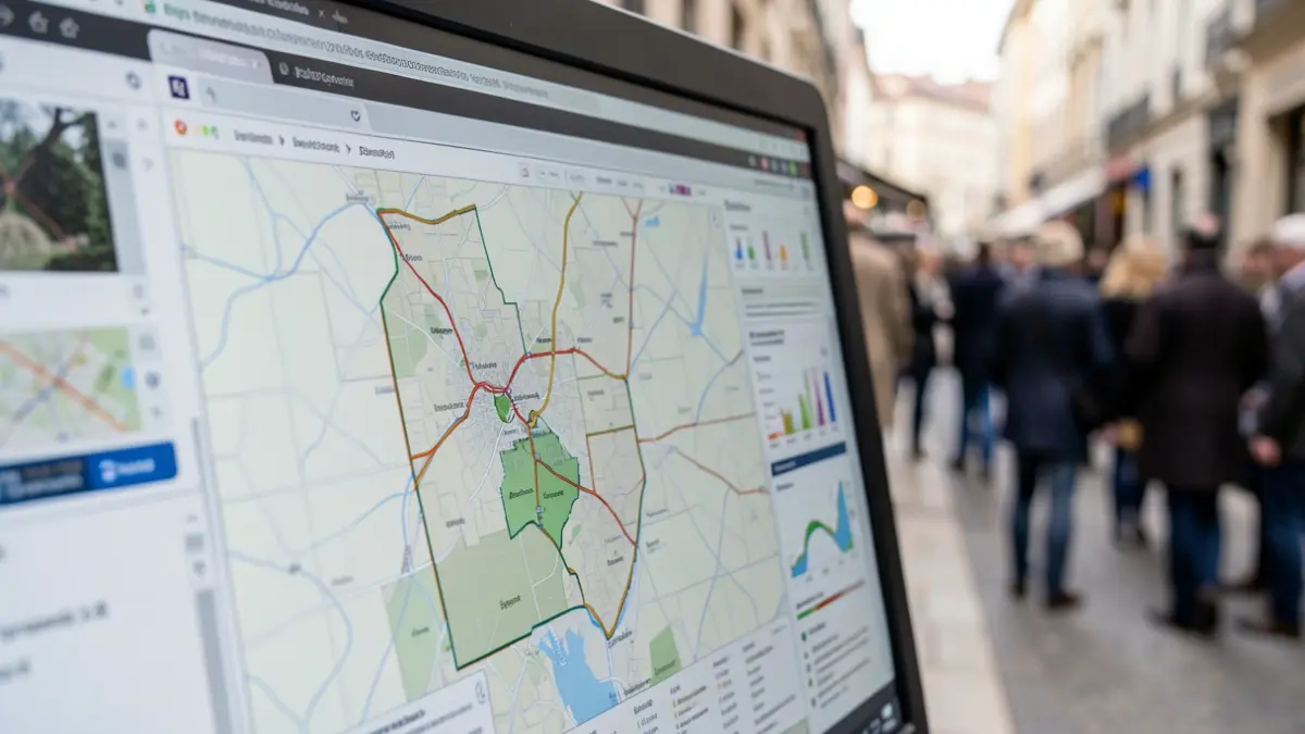
The Environment Agency’s (EA) Stakeholder and Beneficiary Mapping Tool (SBMT), developed with Esri, consolidates trusted data into a user-friendly platform. Accessible to all EA staff and organisations subscribed to the Public Sector Geospatial Agreement (PSGA), the tool aids in identifying beneficiaries of flood projects, potential partner support, and affected land ownership. This system replaces laborious manual searches, fostering more integrated planning and decision-making.
In its inaugural year, the SBMT demonstrated significant impact, saving over 400 hours and generating nearly £130,000 in financial benefits. These savings stem from reduced manual analysis, lower reporting expenses, and accelerated decision-making processes. Currently, over 300 EA staff and other Risk Management Authority personnel utilise the platform for project planning, partnership funding discussions, and enhanced environmental delivery.
Central to the SBMT's functionality is Ordnance Survey (OS) data, supplied via the PSGA, offering a reliable and authoritative view of locations, properties, land, boundaries, and assets. The tool currently integrates OS National Geographic Database (NGD) data, including OS Buildings and Water Networks, alongside boundary line and topographic products. By combining OS data with information on flood and erosion risk, land ownership, environmental factors, socio-demographics, and EA programme datasets, the SBMT empowers users to rapidly comprehend project sites, identify affected parties or beneficiaries, understand land ownership, and discover collaboration opportunities with additional partners.
This initiative supports the Department for Environment, Food and Rural Affairs’s substantial £10.5 billion investment in flood protection schemes up to 2036, acknowledging the severe consequences of climate change-induced flooding.
Supermarket giant Tesco has already benefited from the tool. The EA’s National Partnership Funding Team employed the SBMT to conduct a risk analysis for Tesco, assessing flood risk at its top 200 priority stores. This task, completed in minutes, saved approximately 40 hours of analyst time. In another instance, Area Flood Risk Specialists evaluated four projects, saving 16 hours and an estimated £28,000 in consultant fees, while identifying an additional 250 non-residential properties that could benefit from flood protection measures. Asset teams have also leveraged the SBMT to locate and engage landowners responsible for defective water network assets, replacing manual searches and yielding an estimated annual saving of 140 hours across 14 EA asset teams.
“"When organisations can see a complete and trusted picture of the places they serve, they can make better decisions and deliver greater impact. By providing the authoritative location data that underpins the SBMT, Ordnance Survey is helping the Environment Agency and its partners identify opportunities faster, target investment more effectively, and work together to better protect communities from flooding while delivering wider environmental benefits."
The EA is committed to enhancing the SBMT based on user feedback, incorporating more data to increase its capabilities. Monthly feedback is collected via area super users to measure benefits, share learning, and inform future improvements. Planned developments include integrating further Natural Capital, Natural England, and Indices of Multiple Deprivation data, alongside additional OS NGD datasets. The EA is also exploring expanded access for partners such as water companies and wildlife trusts, fostering collaboration on shared environmental priorities.
In conjunction with Flood Action Week 2026, the government has launched Flood Action Online, a new website hosted on GOV.UK, serving as a comprehensive resource for understanding and preparing for flood risk.
Earlier this year, OS published its analysis on how climate-related flooding poses a threat to Britain’s transport networks. Further details are available on the OS website regarding their role as Great Britain’s National Mapping Service.