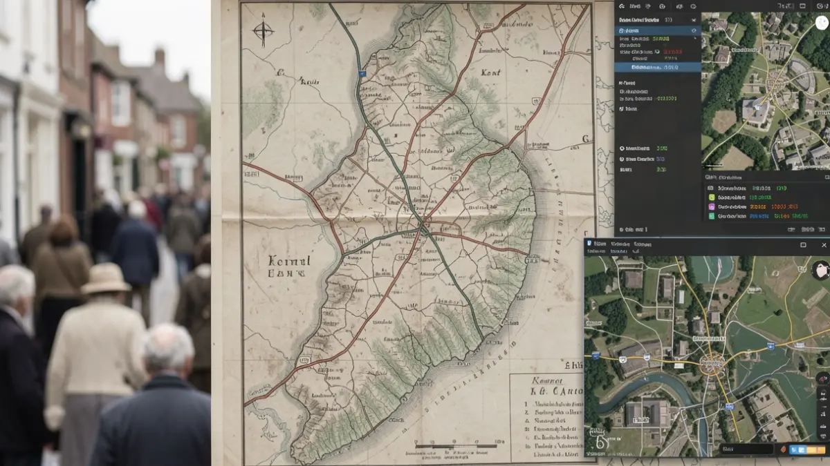
The initial mapping of Kent, completed over 10 years, was driven by the threat of a Napoleonic invasion. It took until 1870 for all of England and Wales to be mapped to a similar standard, and until 1887 for Scotland. Today, the same area of Kent can be mapped using modern technologies like satellites, aerial imagery, GPS, and digital surveying in approximately 10 days.
Historically, surveying and cartography were the largest departments at Britain’s national mapping service. Now, the technology department, responsible for developing modern geospatial services, is the largest. The OS’s data team is the second largest, employing as many data scientists as surveyors.
While the 1801 map of Kent focused on military use, communication links, and terrain, the current OS map offers much richer and more granular detail. Its trusted data underpins modern life in Britain, with the average person interacting with OS data 42 times a day. Various sectors and markets rely on this information for national security, economic growth, infrastructure planning, emergency response, and environmental resilience.
Nick, speaking on behalf of the organisation, stated: “We're still innovating. We've pushed the boundaries of the data we capture through advanced technologies such as computer vision and AI, while still maintaining a human-in-the-loop approach. This ensures we deliver the trusted and authoritative data our customers need to generate valuable insights.”
From its origins as a paper map maker, OS has evolved into a leader in digital mapping. Its data now aids in addressing major societal challenges, including climate change, national security, urban planning, flood protection, and building a more resilient future. For every £1 of public funding invested, OS generates £9.50 in societal benefit.
The OS provides information for journalists and media professionals, including licensing for map usage in print, online, and film formats. Further details can be obtained by emailing pressoffice@os.uk or calling 023 8005 5565.